
Mapping, Geospatial Analysis, & Project Planning Services
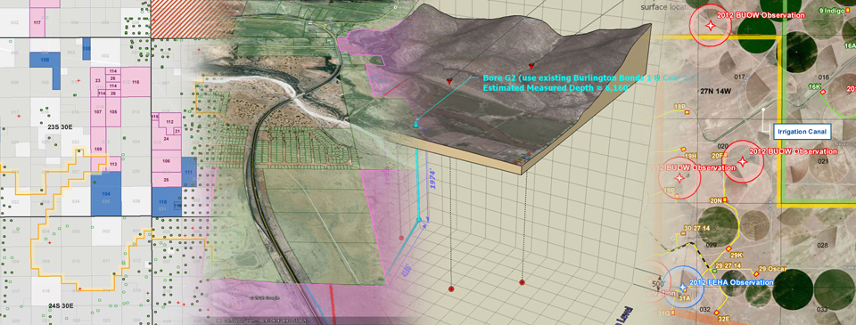
Permits West offers a full suite of GIS and remote sensing services, from basic map creation to in-depth spatial analyses. We deploy the latest GIS software and technology and our on-staff GIS analyst has more than 15 years experience in the field of natural resource management. We love a good challenge, so if you have a unique GIS or remote-sensing need, or simply need to get creative with traditional maps, we can help.
GIS/Remote Sensing Services:
- Post-mining topography modeling
- Reclamation monitoring & success mapping
- Volumetric analyses
- Mine planning
- Wildlife monitoring and habitat mapping
- Right-of-Way and utility easement planning & management
- 3D directional drilling models
- Oil field development scenario mapping
- Critical habitat mapping
- Watershed and drainage modeling
- Custom database management
- Custom Google Earth KML creation & data Integration